So, here is a (not-so?)small my website update for the end of summer 2026.
On one hand, it turned out that filling the website with archaeological sites is going much more slowly than I had expected. On the other hand, the result has turned out to be unexpectedly, really cool and good.
So, what do I use to build the website? The Swedish platform https://lovable.dev/, which uses artificial intelligence to create and edit websites from scratch. Thanks to Nikita, who told me about the platform, and to Konstantin (I recommend checking out his amazing TELEGRAM channel: https://t.me/cy_marbio, who gave me 100 points. I still haven’t even spent half of them.
I also use the paid version of ChatGPT (which I use both for work and in everyday life), while I store the photos on https://cloudinary.com/ — the free version is still enough for now. Buying and maintaining my webiste https://cyruins.com/ costs only a few euros per year extra.
So, financially, maintaining, supporting, and improving the entire project currently costs no more than a few hundred euros per year — perhaps even less than a hundred. The costs will probably increase several times, but even then they should remain relatively low on an annual basis.
***
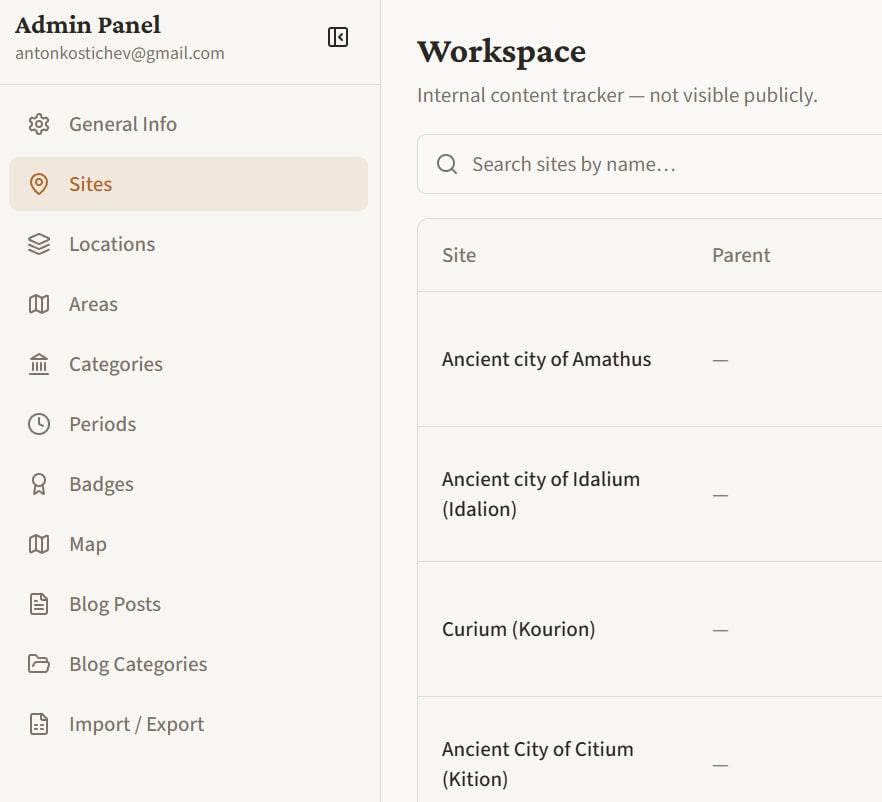
The first achievement is an excellent admin panel (image below).
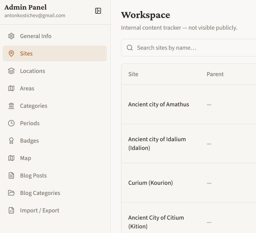
I create and edit all the archaeological sites myself. Today I finished the 80th one. In theory, every site is published in four languages, but in practice I am currently filling the website only in English (there are still many empty sections in the Greek, Russian, and Polish versions).
ChatGPT suggested that I could set up automatic translation via API, and it would cost only a few euros for, say, 1,000 sites. Alternatively, I can continue translating everything for free through ChatGPT using an Excel file.
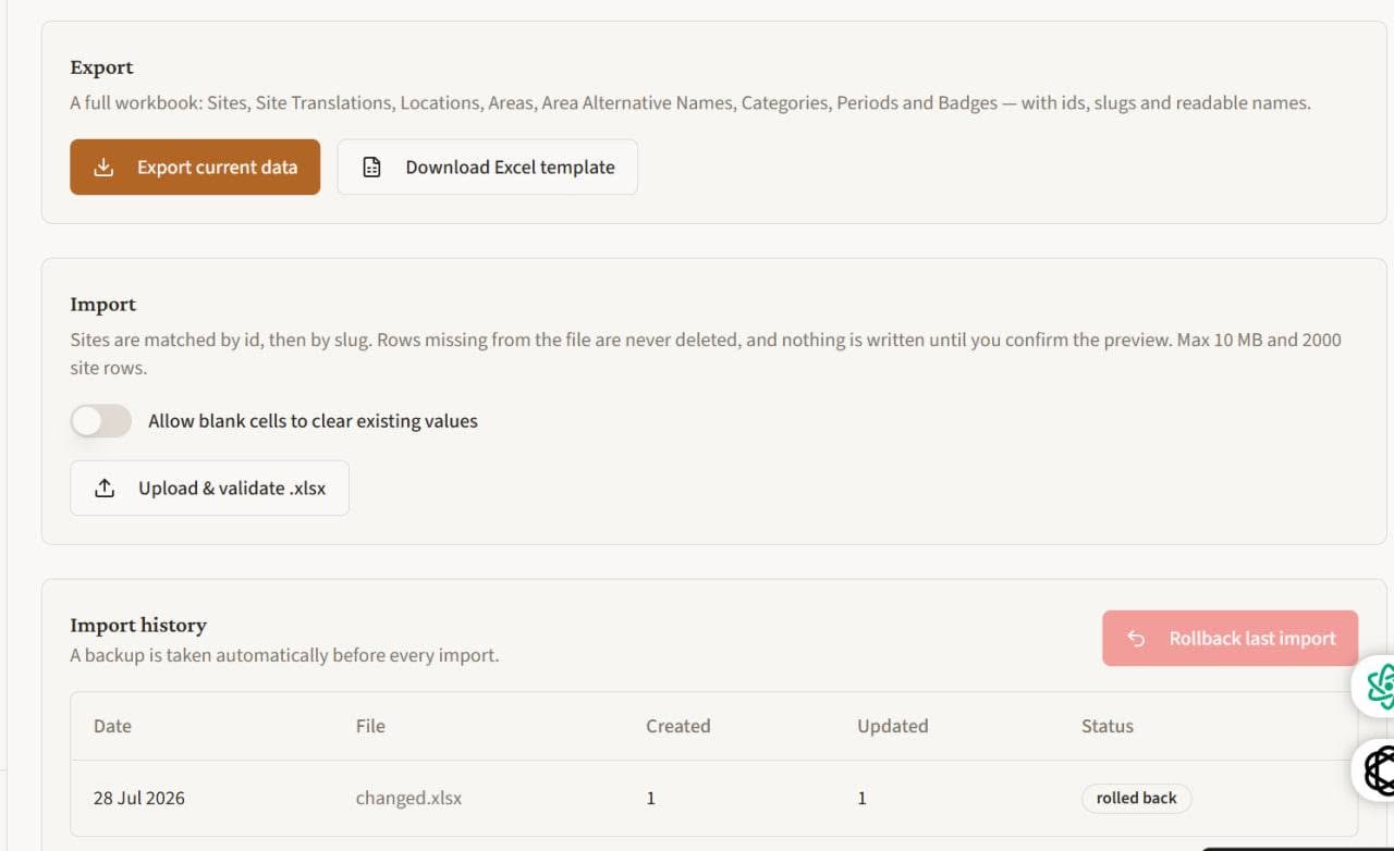
Yes, the second new feature (image below) is that I can download and upload my entire archaeological-site database. This will allow me to quickly edit and translate large batches of sites into other languages, while also providing a kind of backup: if something happens, I can quickly restore the website using the latest Excel file I downloaded.
The third feature, still unfinished (image below), is the map. I now enter the real coordinates of an archaeological site — latitude and longitude — and the site appears on the map. Why is this important? Because when I improve my map later, I will be able to work with real coordinates rather than converting them from one made-up system of mine into another.
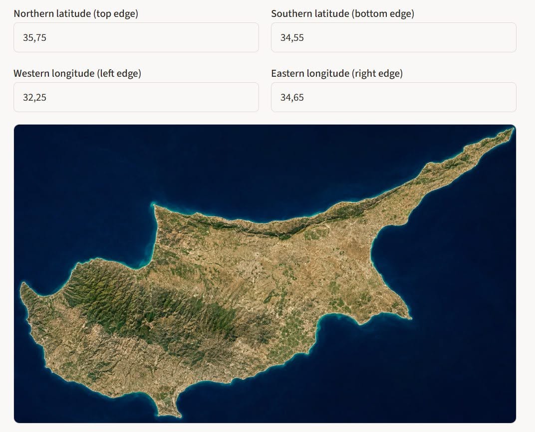
Why is it still unfinished? Because I have not yet created a perfect map of Cyprus that aligns precisely with the coordinates (image below shows an archaeological site appearing in the wrong location).
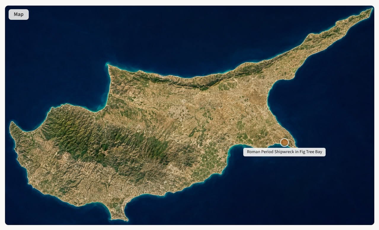
The solution is simple: I just need to spend some time properly calibrating the map of the island to the coordinate system.
After that, I will be able to improve the map further, add map-based search, display different types of sites, and so on.
Another feature I added yesterday is a hierarchy between archaeological sites. For now, it exists only in the admin panel and is not yet visible on the public website. But just know that it is there

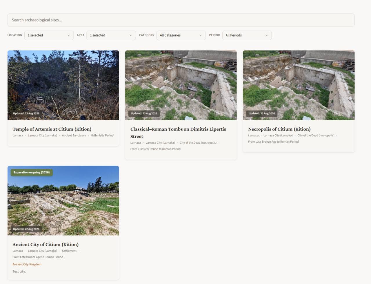
What do I mean by a hierarchy of sites? For example, there is a site called “Classical–Roman Tombs on Dimitris Lipertis Street”. I made it part of the “Necropolis of Citium (Kition)”, which in turn forms part of the “Ancient City of Citium (Kition)”.
For now, I am testing this hierarchy only with Citium (see image below), and I am not yet breaking down other sites into smaller components. For example, there is currently no separate “Agora of Nea Paphos” or “Tombs of the Kings” — there is only “Ancient City of Paphos”.
***
At the moment, the total number of sites is approaching 80. And the number of sites has a major effect on their overall quality.
The thing is that I added AI-generated summaries of the Department of Antiquities reports for 2008 and 2009 (for now only in the English version; image below shows Nea Paphos).
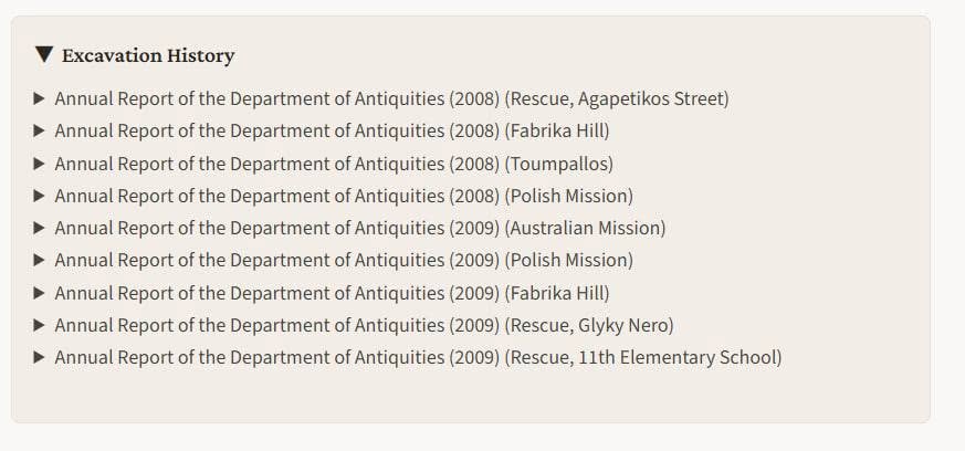
So, on the one hand, the website has finally become at least somewhat useful to someone: you can check what was excavated in a particular place in a particular year.
On the other hand (image below), I now have quite a few (a lot!) almost empty sites with no photos — just a report from 2008 and/or 2009.
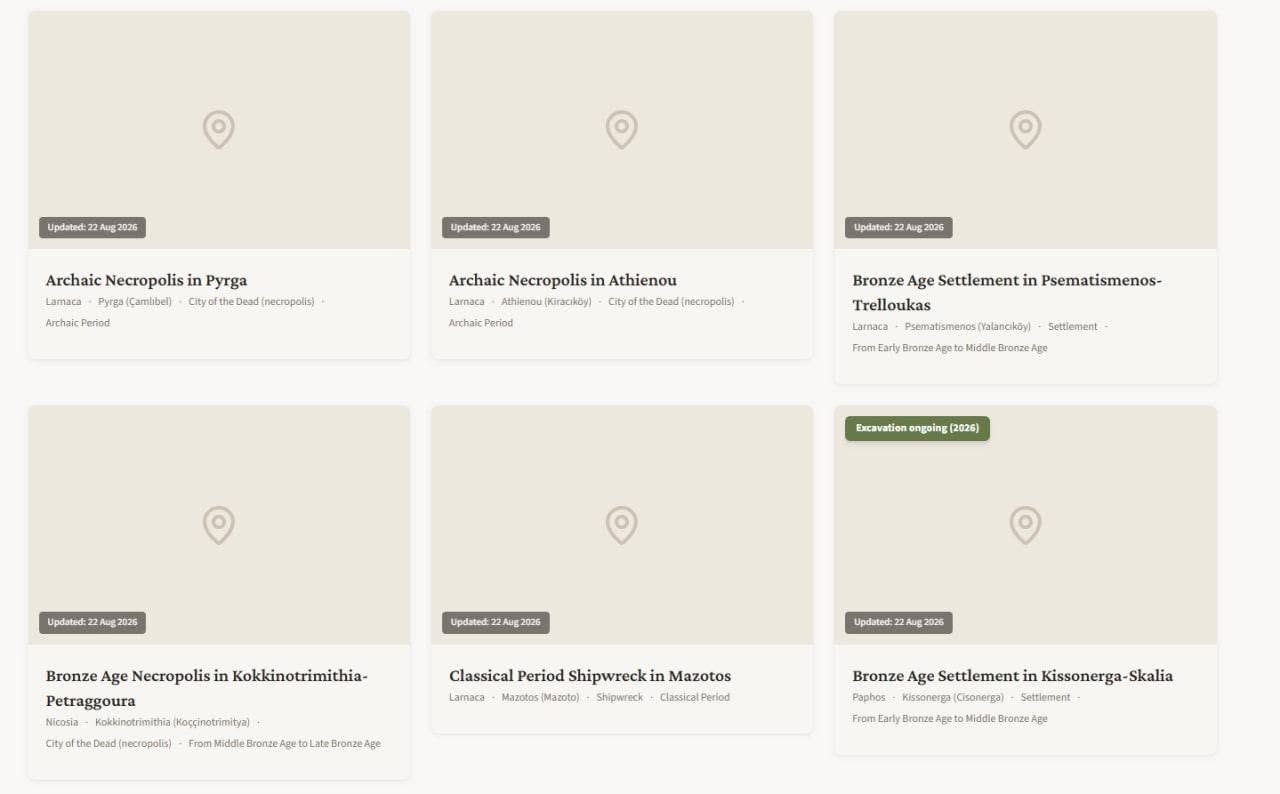
So for now I am going to stop publishing report summaries and focus instead on photographing the sites and writing short descriptions for them. AND CHECKING EVERYTHING FOR ERRORS AND TYPOS!
Later, I would also like to add missions reports, as well as information from travellers and early researchers. I would probably start with Cesnola — especially because large sections of his texts can simply be copied and pasted, since the copyright expired a very long time ago.
***
Another issue I need to think about is that I see two very different categories of visitors:
1. Tourists/local residents who want to visit an interesting archaeological site that is actually worth their time. They will be able to enter a location, see what is nearby on the map and how to get there, and also view photos and videos.
2. Researchers and people who are more deeply interested in history and archaeology. I want to publish — and already do publish — sites that have effectively been destroyed and are known only because they were discovered during rescue excavations. For example, some Middle Bronze Age settlement on Street A in Village B, discovered while a drainage ditch was being constructed.
And this is already creating a problem. I publish summaries of archaeological reports that tourists absolutely do not need, while at the same time I sometimes describe a necropolis as a “city of the dead”, which sounds far too touristy.
So I will probably have to divide the website somehow into two sections aimed at these different groups of readers.
***
And, as usual, because the project is completely independent, I follow a few basic rules of mine:
1. I publish archaeological sites from across the entire island of Cyprus.
2. I divide Cyprus into six districts according to the administrative division of the Republic of Cyprus.
3. I do not indicate exactly where a site lies de jure or de facto (for example, whether it is in a British Sovereign Base Area, the UN-controlled buffer zone, or territory to the north or south of it), as long as access to the site is in practice open, legal, and safe.
4. For now, only in the English version, I give all location names in both official languages of the Republic of Cyprus: first the Greek form (in Latin script), followed by the Turkish form (image below — if the two forms are different, of course. The Greek and Turkish names will eventually appear in the other language versions as well, but later.
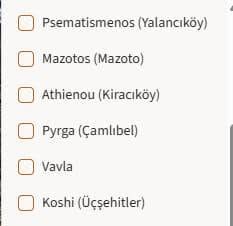
For Turkish place names, I try to use the names that are actually used today, even if a different name was used before the tragedy of 1974.
5. In the English version, major ancient cities whose names are known and which survived into the Roman period are given in their Latin forms, followed by the Ancient Greek form where the two differ.
For example: Temple of Artemis at Citium (Kition) and Ancient City of Idalium (Idalion). This is simply the naming tradition I chose. In the Russian and Polish versions, I use the Greek forms.
6. If a place name differs between Standard Greek and the Cypriot Greek dialect, I use whichever form I encounter most often. I generally try to follow the form used in Department of Antiquities reports, although not always.
For example:
Hellenistic Tomb in Koshi — the Cypriot Greek form.
Neolithic Settlement in Choirokoitia — the Standard Greek form.
That is simply how it happened in these cases.
7. I mark the Russian-language version of my websie with the white-blue-white flag, which has been used by some Russians who oppose the war, fully support Ukraine’s territorial integrity, and do not consider the de facto Russian government legitimate.
***
That is not everything. But there is no room left to write more. Now I need to add more photos, proofread the website for mistakes, and make it feel less AI-generated!